
Discover Borsec
Getting here
Getting here
Borsec, close to everything worth seeing
145 km on the DN15, along the Mureș
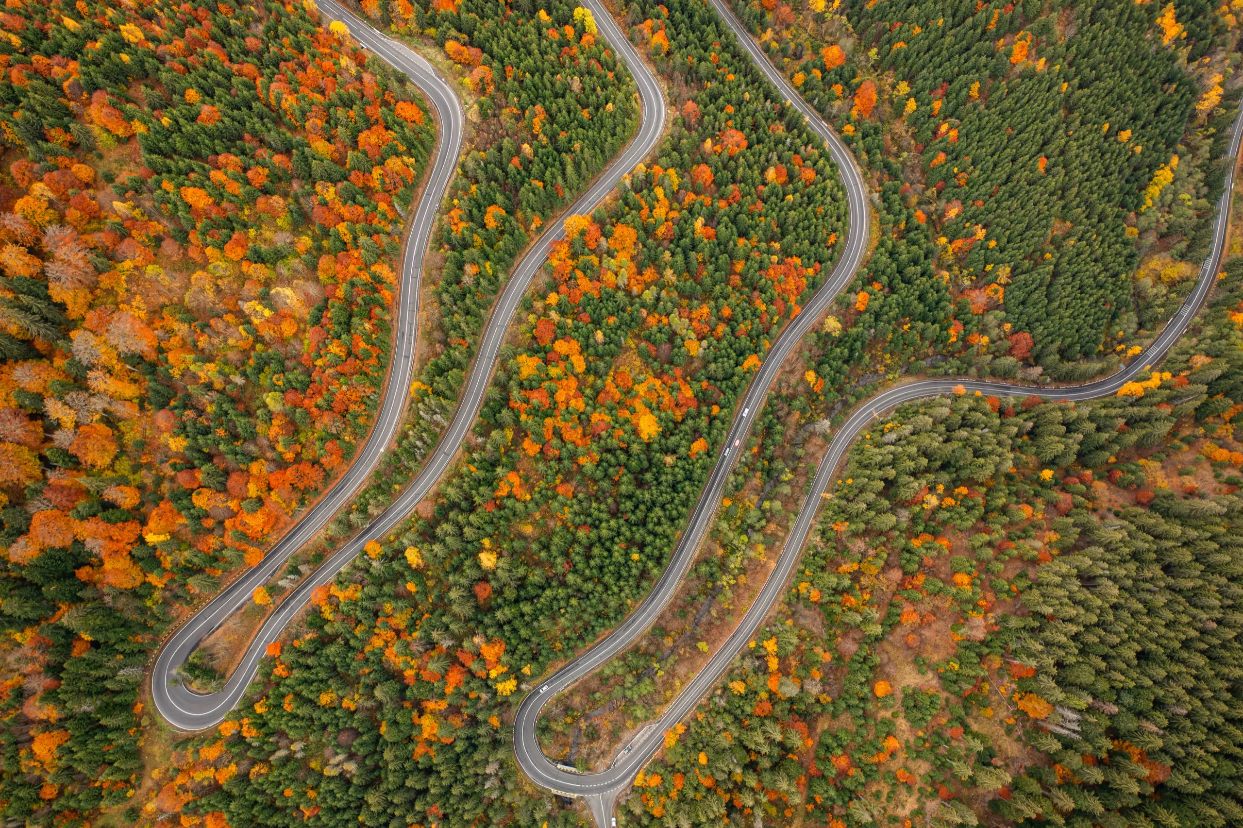
From the airport the road runs through Târgu Mureș and Reghin, then climbs the Mureș valley, through the gorge between the Călimani and Gurghiu mountains, up to Toplița. The last 27 kilometres climb to Borsec.
- Altitude
- 900 m
- Springs
- 12+
- Coordinates
- 46°58′ N · 25°34′ E
Around Borsec
On foot
- Fontana baths — warm and cold mineral water in the centre · Directions
- The Kossuth, Petőfi, Pierre Curie and Șapte Izvoare springs in the resort
- Poiana Zânelor and the Scaunul Rotund circuit — Bears’ Cave, Ice Cave, mofette (~4 km, ~1 h 30) 1.4 km · Directions
Under 40 minutes
- Toplița 27 km · 34 min · Directions
- Bilbor — mofettes and mineral springs 27 km · 36 min · Directions
Day trips
- Lázár Castle, Lăzarea 57 km · 1 h 15 · Directions
- Bicaz Gorge 58 km · 1 h 20 · Directions
- Lacul Roșu (Red Lake) 62 km · 1 h 25 · Directions
- Lake Izvorul Muntelui (Bicaz) 62 km · 1 h 20 · Directions
- Izvorul Mureșului (source of the Mureș) 79 km · 1 h 40 · Directions
A full day
- Sovata — Lake Ursu, a salt lake 115 km · 2 h 20 · Directions
- Corund — the pottery centre 116 km · 2 h 20 · Directions
Approximate driving distances from the centre of the resort.
Bookings
Tell us when you are coming and how many of you there are
We will recommend the right villa. We reply the same day, in English, Romanian or Hungarian.
Bookings
0747 277 225